I Cut 3D Maps In Wood To Show How Incredibly Beautiful Our Planet Is
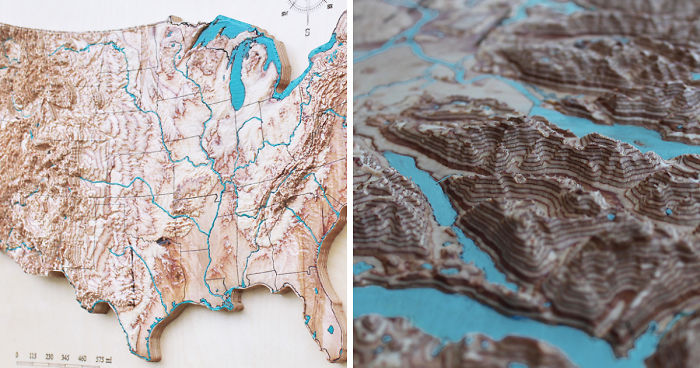
Every 3D map is a surprise in a way, even if you’ve spent your whole life in that location. The elevation dimension reveals the surroundings, opens the crevasses, enlarges the contrast of valleys, reveals the hidden bottom of lakes and the ocean. 3D map is a perfect educational material as well as stunning home or office decoration.
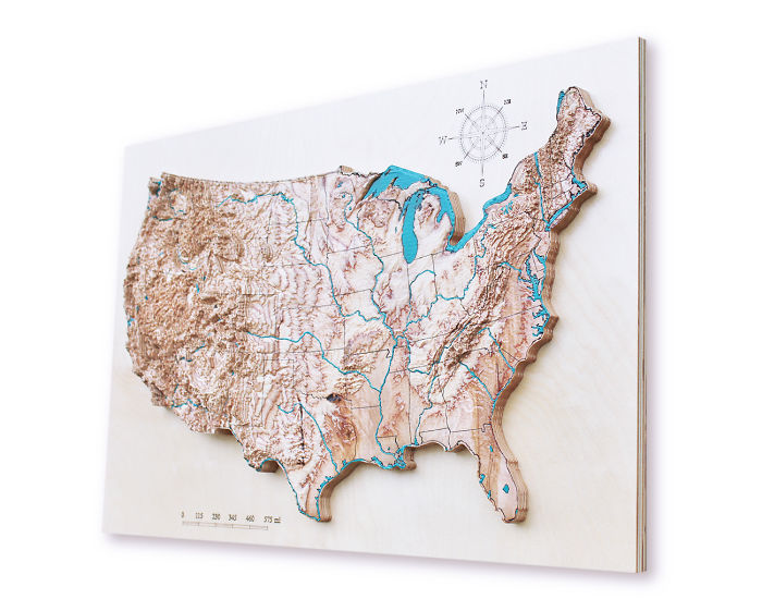
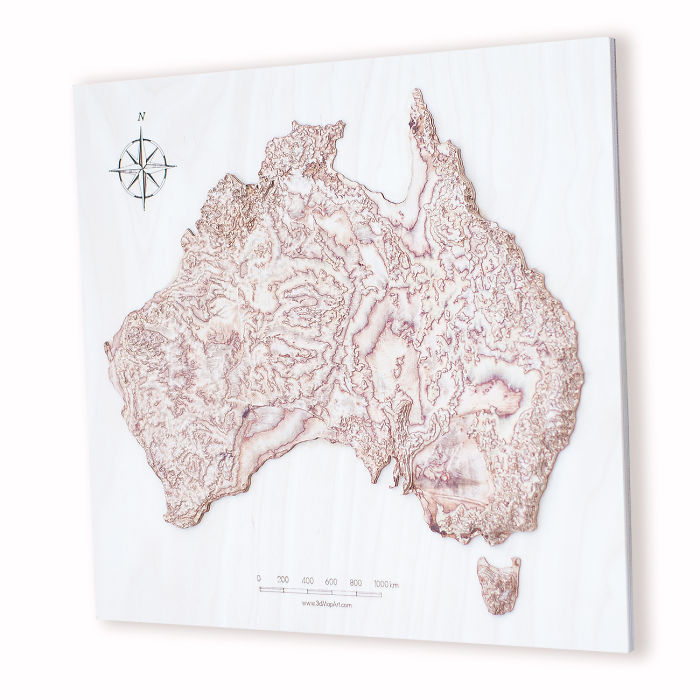
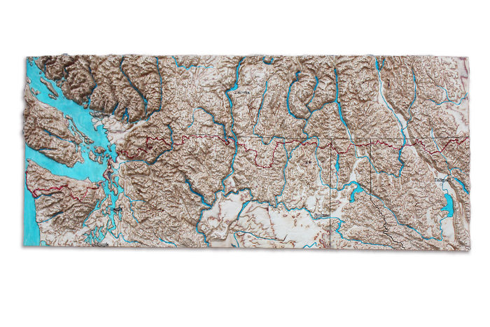
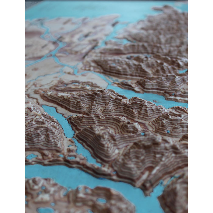
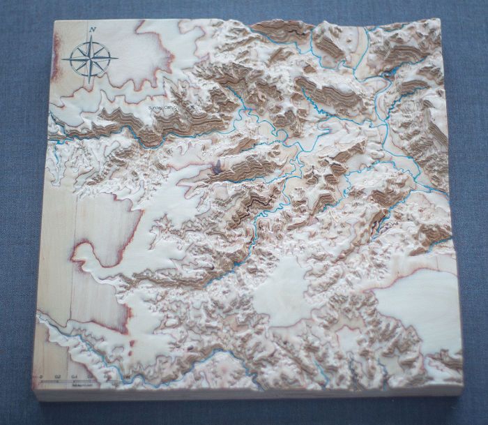
To create a 3D map, I convert the digital satellite data into 3D models and adjust the scale to give an impressive look on wood. Additional vector data is burned with a laser to show shapes of lakes, rivers, borders and in some cases streets, not naming the nominal information that makes these maps fully informative.
I paint water bodies by hand in blue, which makes every map unique.
More info: 3dmapart.com | Instagram
Painted wooden map of the USA
Australia
Painted map of Pacific North West Trail in 3D
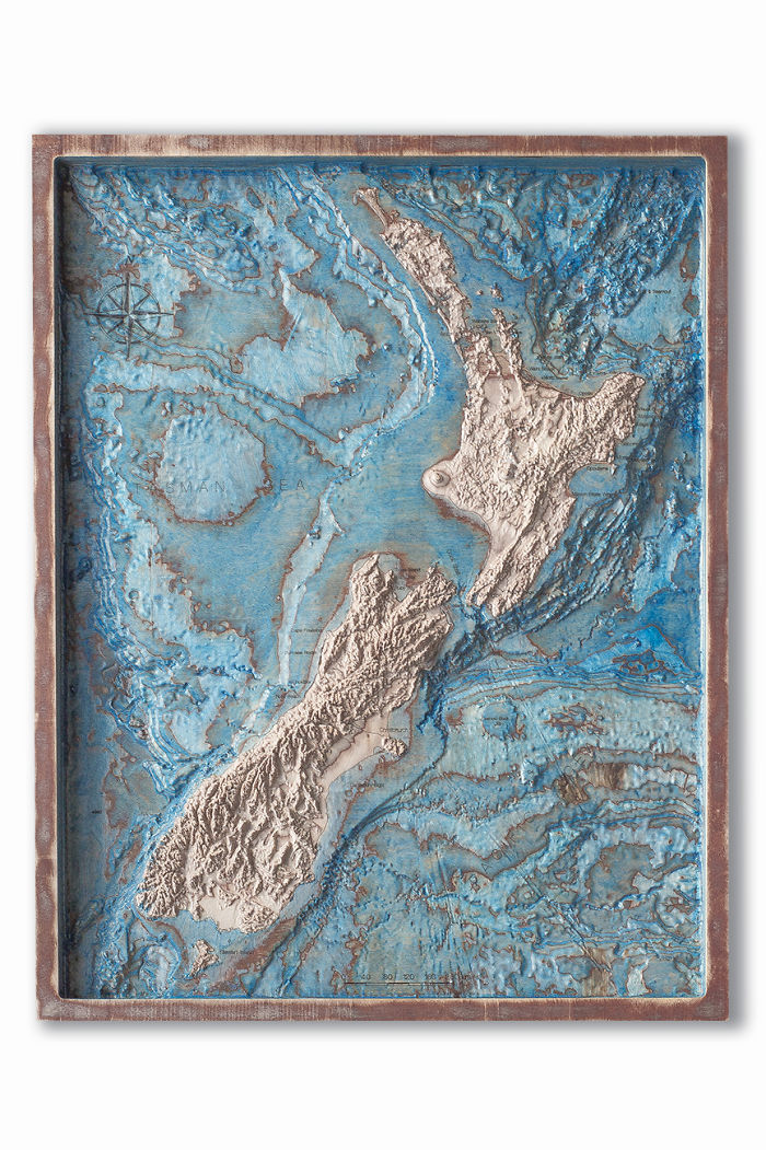
3D map of New Zealand and surrounding ocean floor
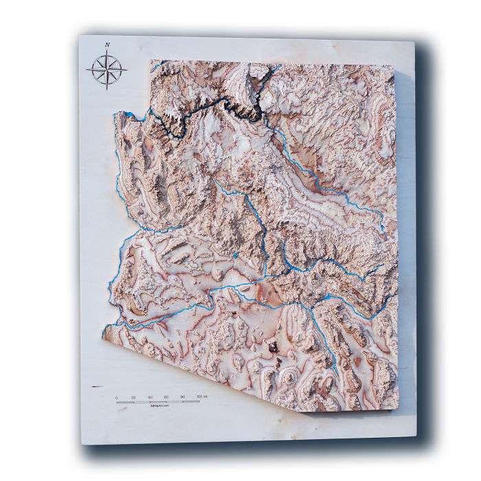
3D map of Arizona
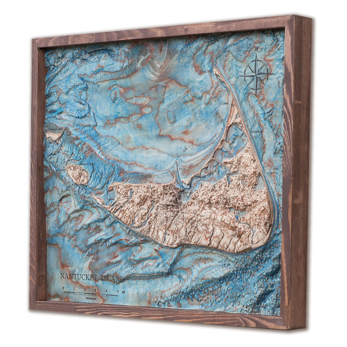
Map of Nantucket island
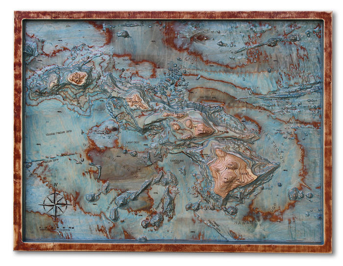
Hawaii islands
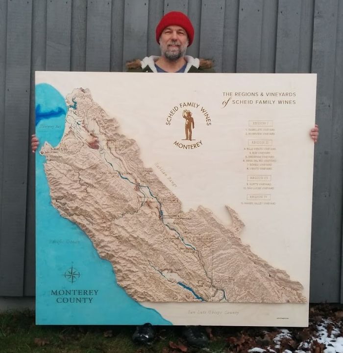
Large map of wine regions in Monterey County
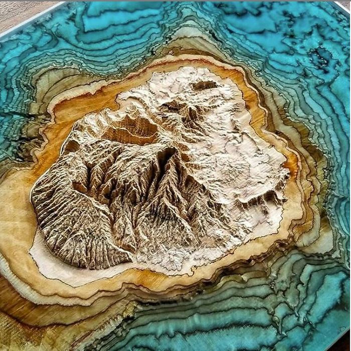
3D map of Kauai island with blue epoxy as ocean
Palo Duro Canyon, Texas
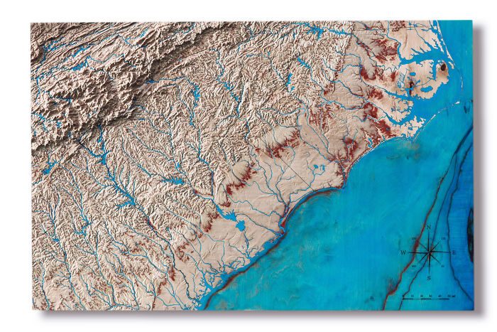
Wooden map of North and South Carolinas
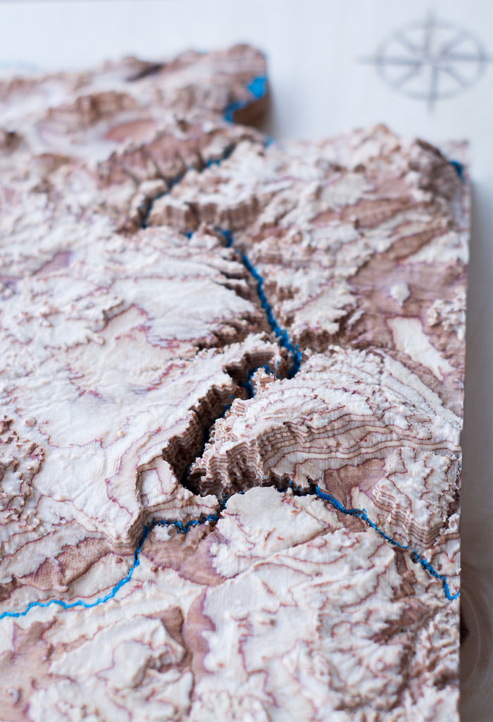
Grand Canyon
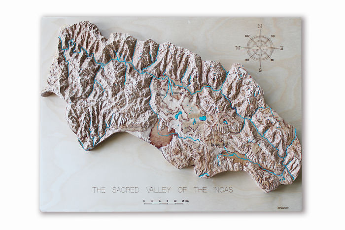
Sacred valley of Incas
1Kviews
Share on FacebookThese are Amazing, I would love to see an entire globe of this or at least a very large world map.
You can buy it here: https://3dmapart.com/collections/3d-wooden-maps/products/australia-3d-wood-map
Load More Replies...These are Amazing, I would love to see an entire globe of this or at least a very large world map.
You can buy it here: https://3dmapart.com/collections/3d-wooden-maps/products/australia-3d-wood-map
Load More Replies...
 Dark Mode

 No fees, cancel anytime

























40
5