I must admit that along with the tripod there was also a "better" camera.
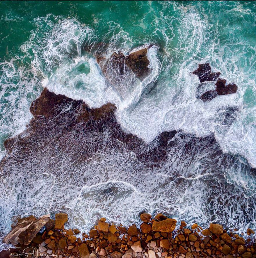
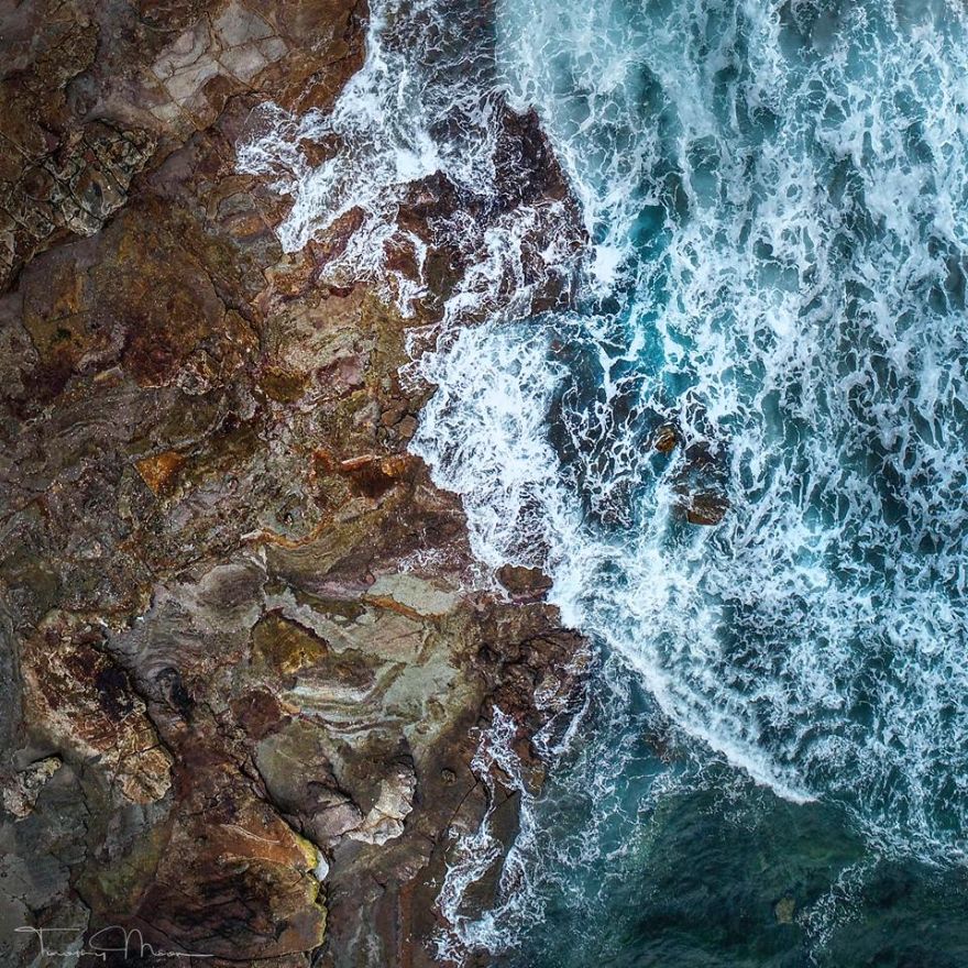
I am an old surfer, so the drone enables me to view the coastline in a completely different way, to the way that I did when growing up. I mainly use it for still photography, and get a bit distracted with abstract images over the rock platforms and along the beach.
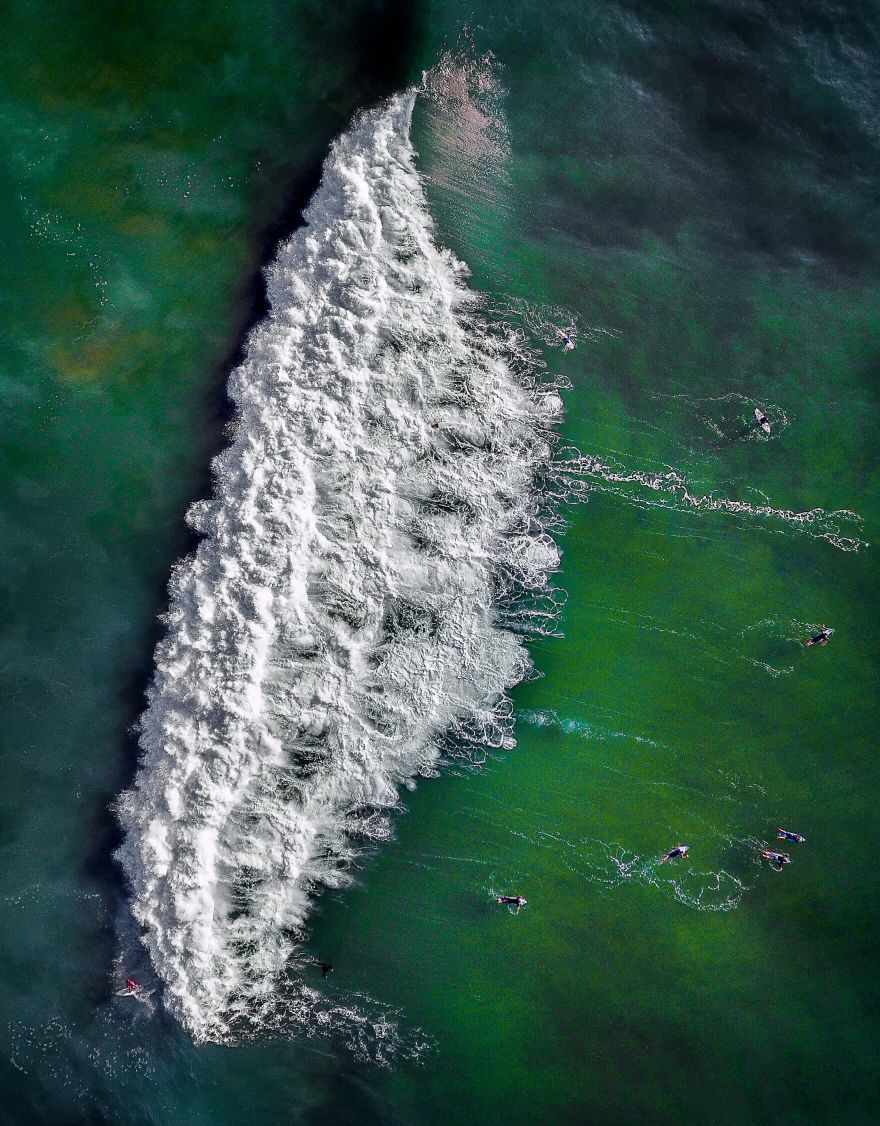
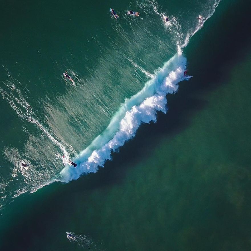
On the day I captured "The Wave" there was quite a big swell running, and the flight was over a beach that I frequent regularly, so I was familiar with how the waves form and break in the area. My aim was to isolate a large wave, and try and capture the various encounters a surfer might have. In this instance I was able to catch a rider on the face of the wave, a couple emerging from duck diving the wash, with the balance of riders paddling for a position to either catch the next wave, or clear the break.
The image was taken in the morning, with the angle of the sun giving good definition, but not too high in the sky where the brightness of the sunshine would burn out the detail in the image. There has been a steep learning curve with image making, including the requisite post processing skills.
I was surprised to recently win an award for "The Wave" from Australian Photography Magazine for 2017 Photograph of the Year.
There's still so much more to learn about image making.
More info: tmatelier8.format.com | Facebook | Instagram
This post may include affiliate links.
The Wave
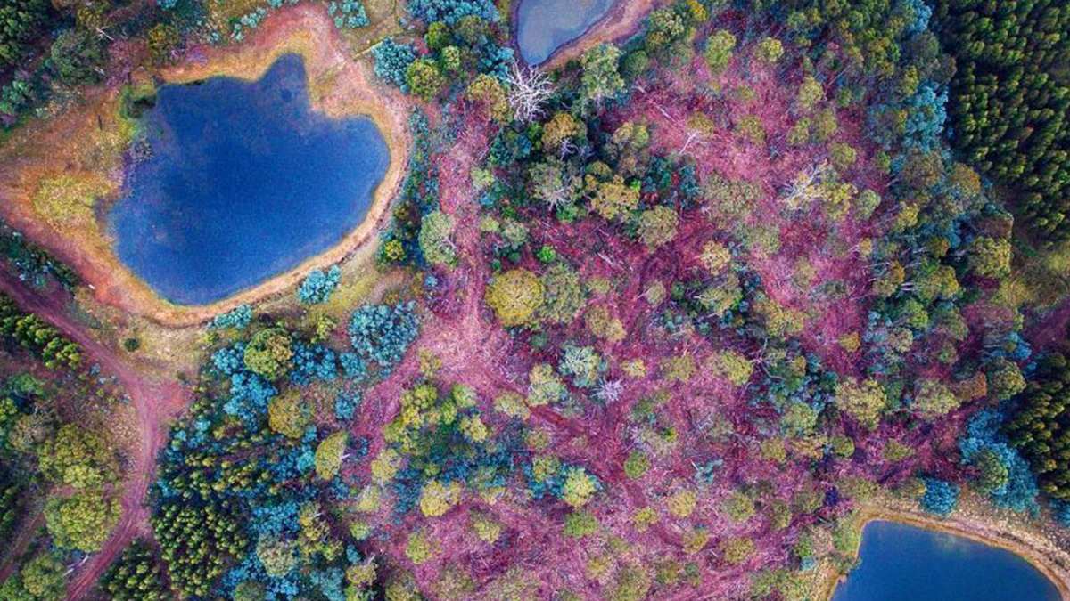
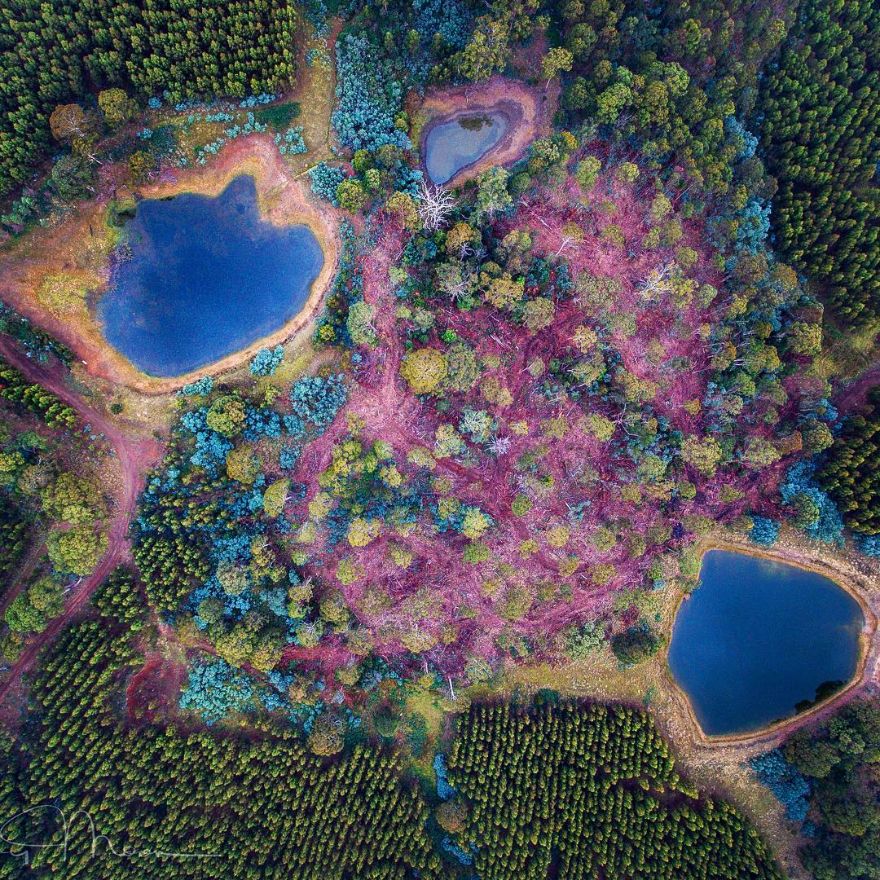
Pine Plantation Clearing
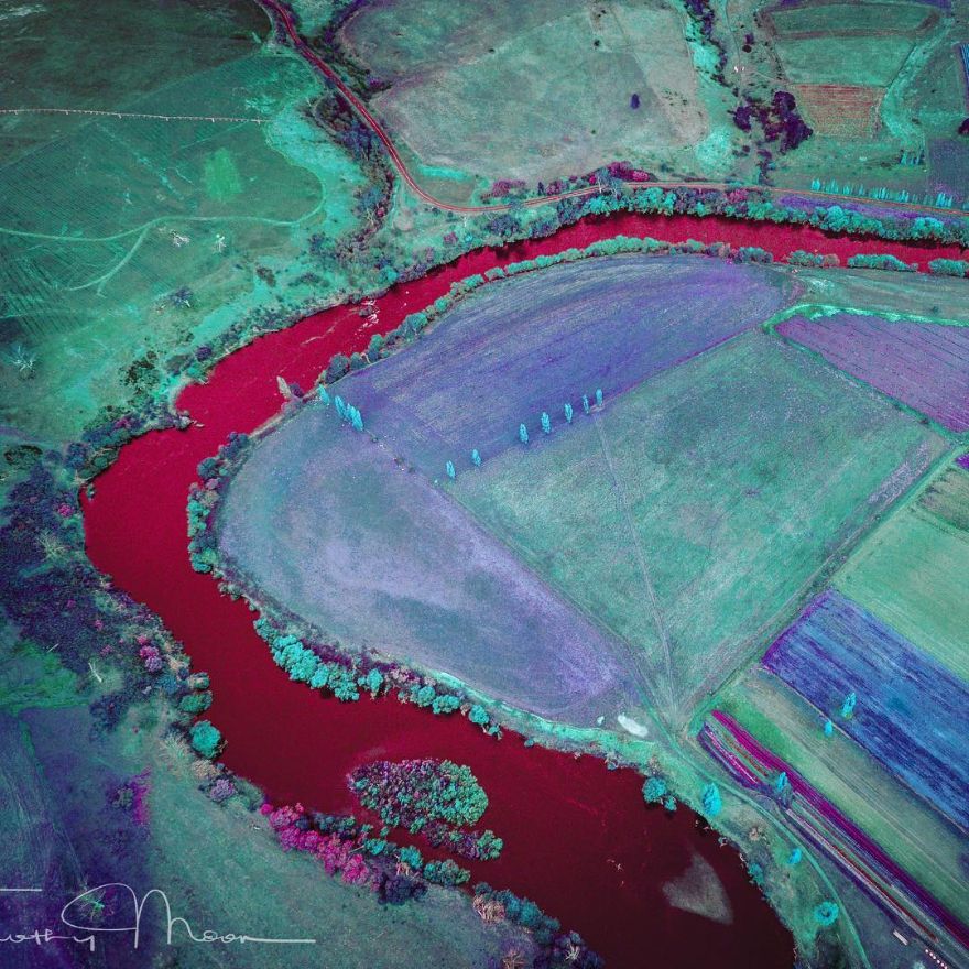
The pink is the colour of the pine bark chips after the forest is cleared. The pale blue is the young foliage of the eucalpt trees.
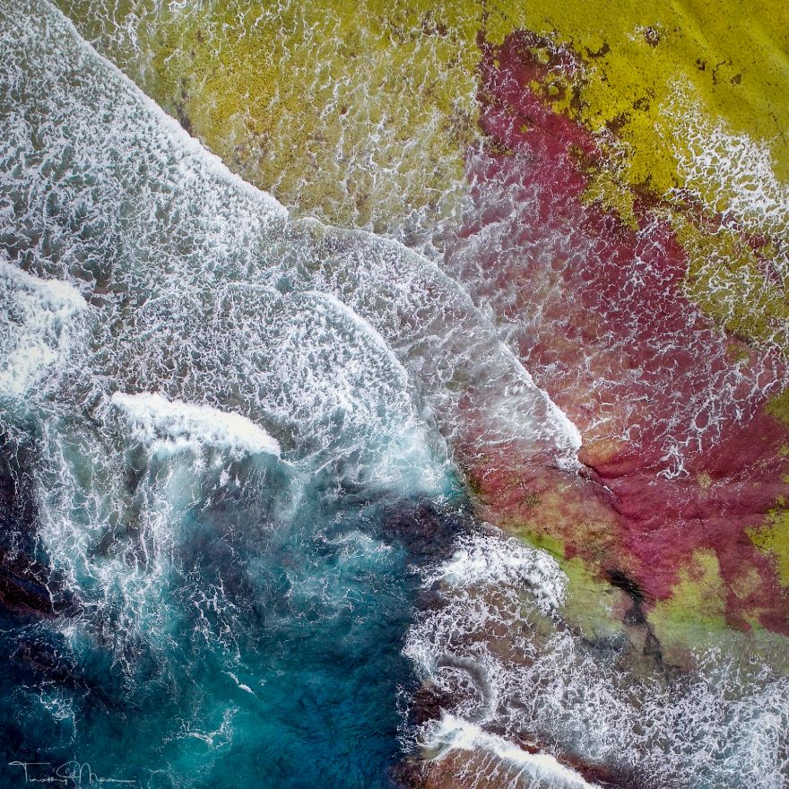
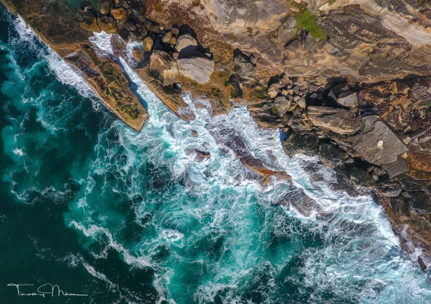
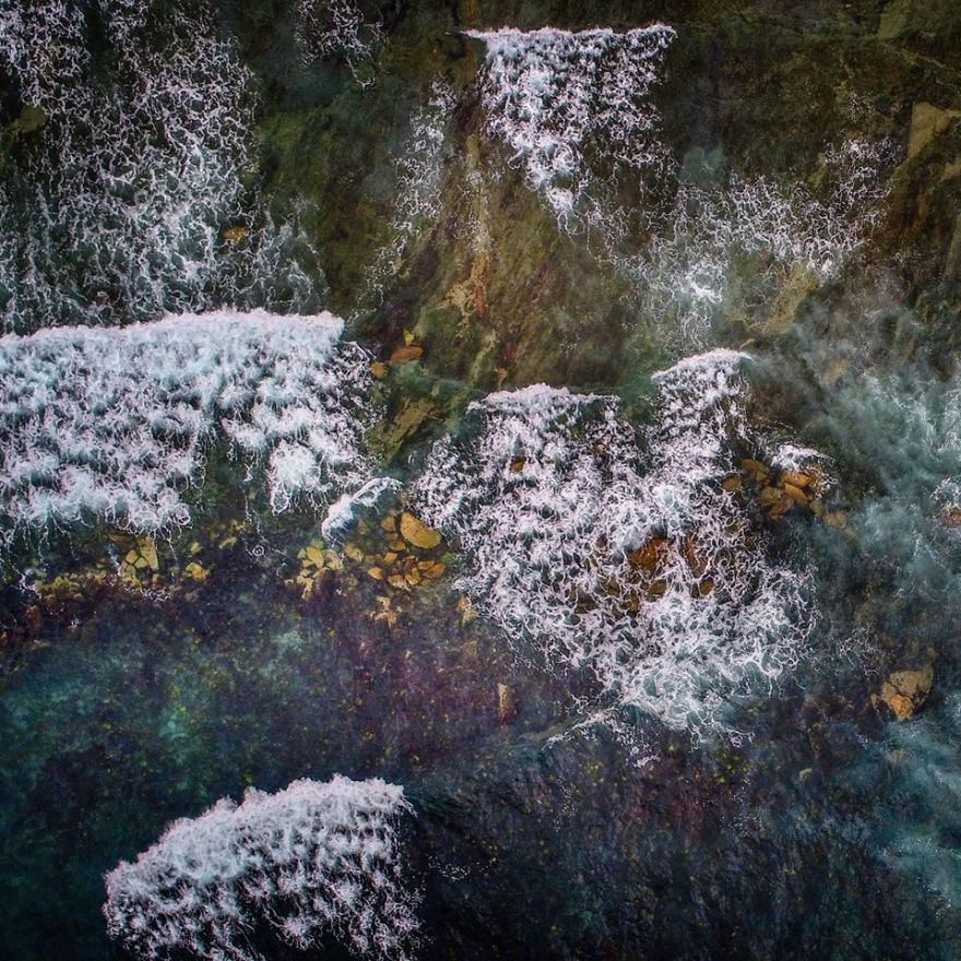
Rock Platform Colours
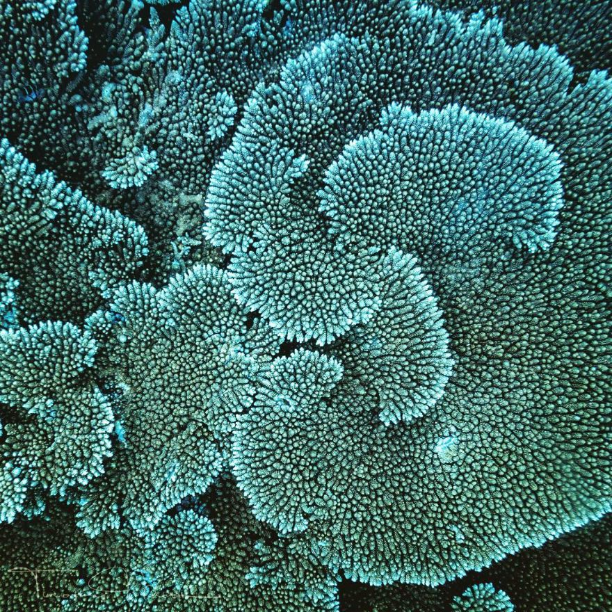
Coral Spirals
Bruny Island Scallops
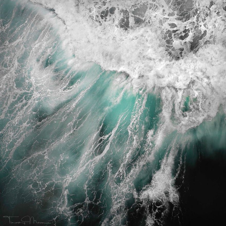
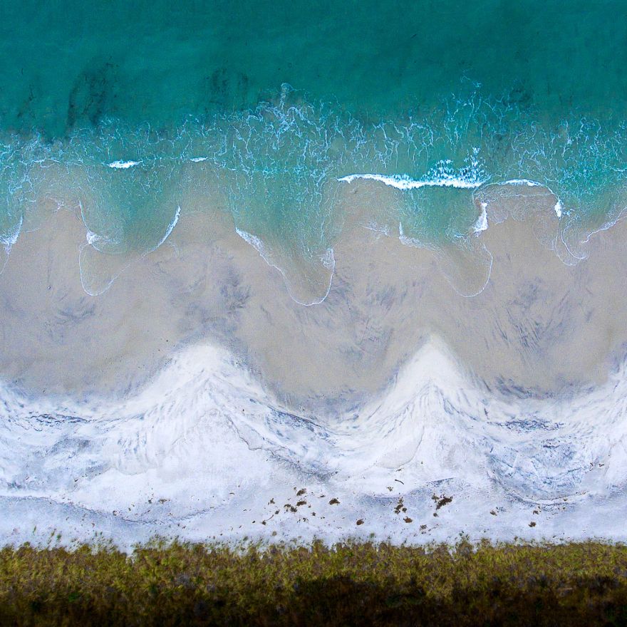
Ocean Patterns
Reef Break
Rural Artery
Take The Left
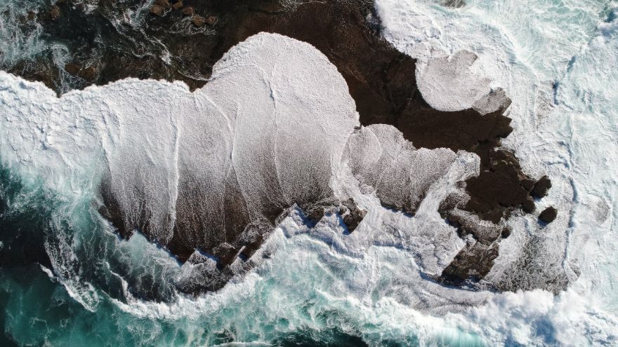
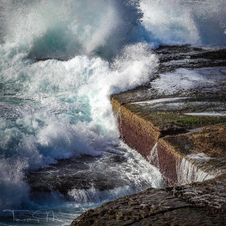
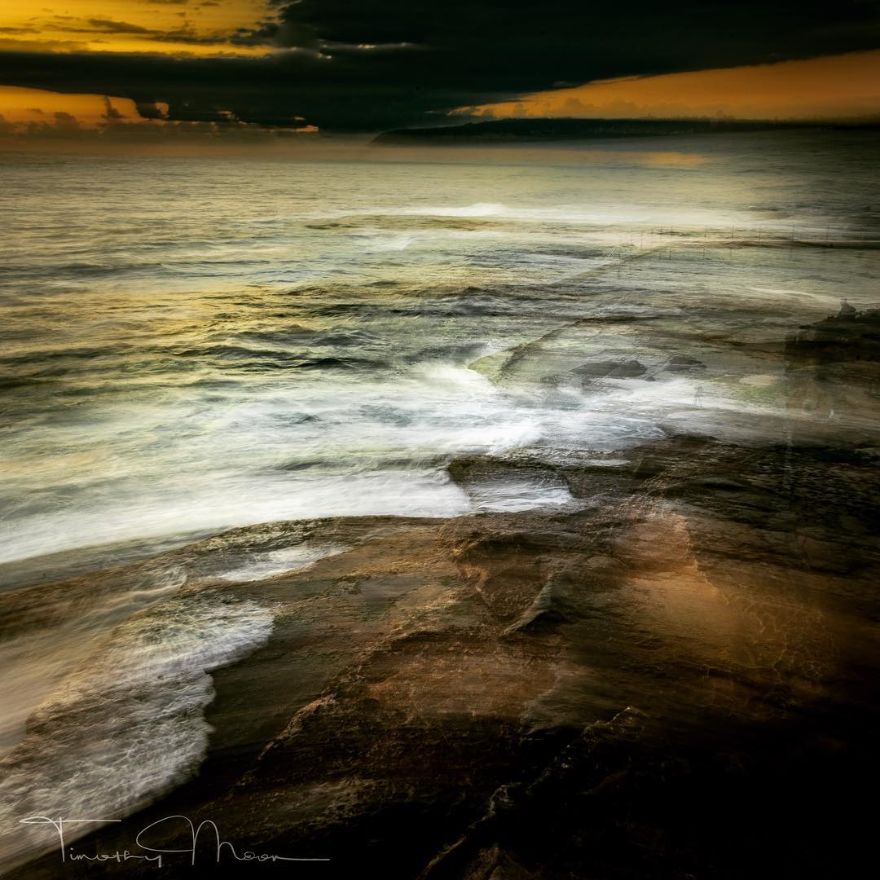
Storm On The Rock Platform
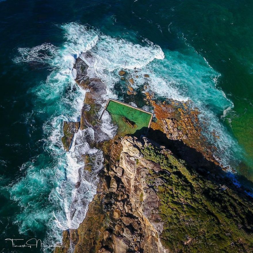
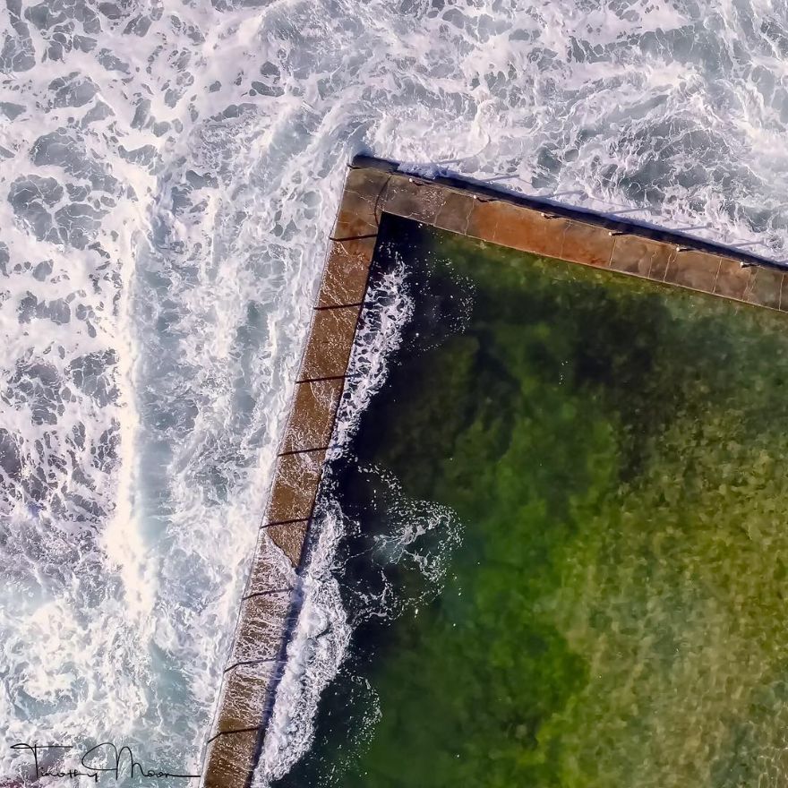
Ocean Pool
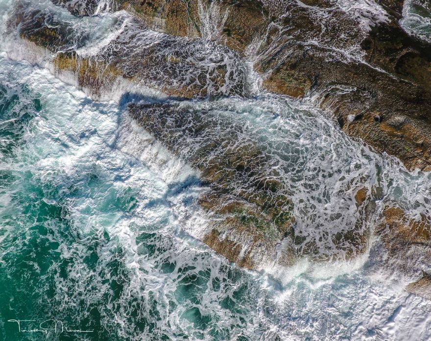
Rock Platform Flow
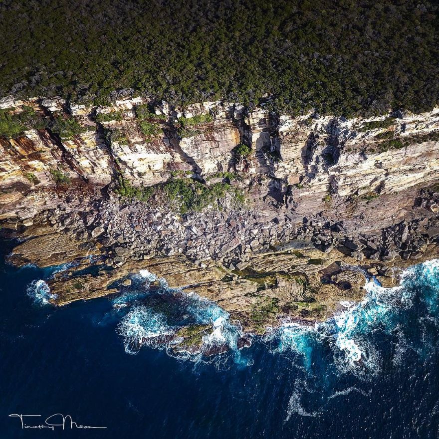
Coastal Escarpment
Wow, I find this picture very deceptive. I think it's because of the angle at which the picture is taken in that it is straight down past the edge of the cliff thereby giving no indication of how high the cliff actually is. Or contrarily how far above the ground or ocean the drone is. Unless you've seen the coast from ground level and know that those rocks along the shore are actually much bigger than this picture makes them appear to be. Otherwise you may think the cliff is only about 30 ft. high.
What Lies Beneath
Untitled
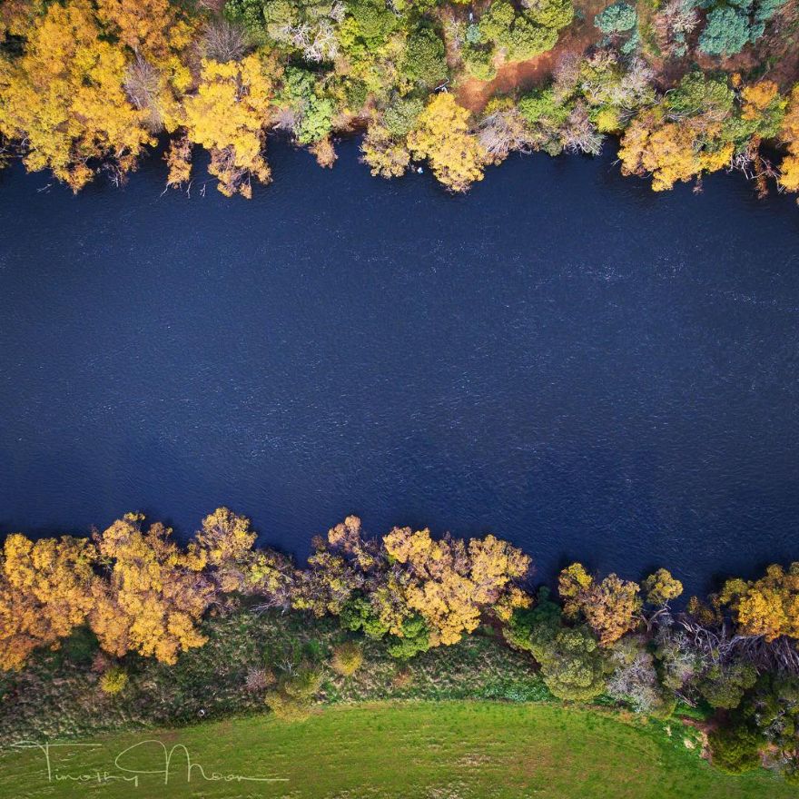
Derwent River Borders
Coastal Abstract
Rock Platform Flow
Untitled
Miniature Landscape
These are awesome! Where is the location for these pictures? (ie. country)
Thanks. All photos were taken in Australia
Load More Replies...Thanks Ann. The painting background enables me to see beyond the constraints of the viewfinder. I have a facebook page called Landscape Painting with a Camera....
Load More Replies...These are great photos! When I am on a plane landing near the ocean, I always wish I could just float up there for hours and watch the waves.
Thanks. The aerial photography gives you a whole new perspective, and way of seeing. It would be great to be able to fly like a bird 👍
Load More Replies...can i ask what drone you bought please? they are all crisp looking. so vivid.
DJI Phantom 4 with the 1/2.3” CMOS sensor, so you don't need the 1" sensor of the Phantom 4 Pro to get clear images, you just need to be a little closer.
Load More Replies...Aaahhh...."fly like a bird..." my lifelong dream! I have to admit, "Rural Artery" brought a huge smile to my face. What great photos!! As an artist myself, I always appreciate anyone with "the eye" ~ and YOU, sir, most certainly have it....absolutely stunning... :)
Thanks Jennifer..... Eye-5a699f...4d57ff.jpg 

 Dark Mode

 No fees, cancel anytime

