This Tribal Map Of America Reveals Whose Land You’re Actually Living On
October 12th marks Columbus Day, commemorating the landing of Christopher Columbus in the Americas in 1492. Is this occasion worth celebrating, though? Well, there are many different opinions out there. Turns out, a YouGov poll of more than 7,000 US adults found that Americans narrowly view the European explorer as more of a villain (40%) than a hero (32%). Moreover, these past few years, more and more US cities have been moving to rename the holiday Indigenous People’s Day as well as removing Christopher Columbus statues.
Despite all the controversial discussions, though the thing that we all could do around this time is to try our best to educate ourselves. You can never go wrong with that. Luckily, there’s an interactive Native Land map out there that can help us with that.
More info: native-land.ca
The project is run by Victor Temprano from Canada, who began working on it back in 2015
Image credits: native-land
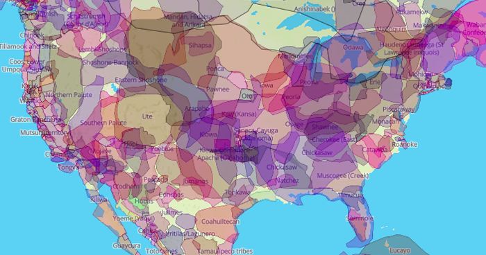
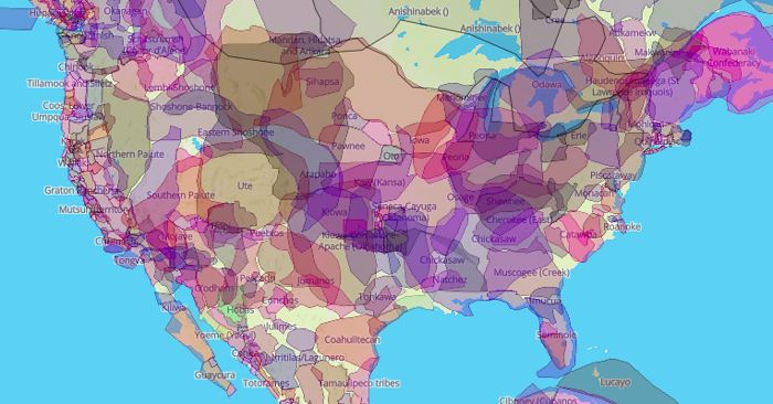
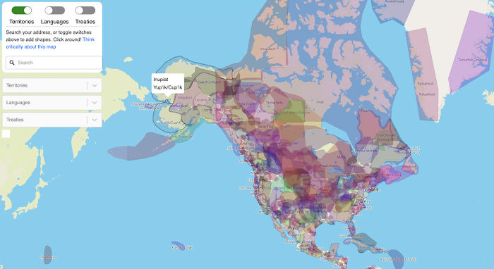
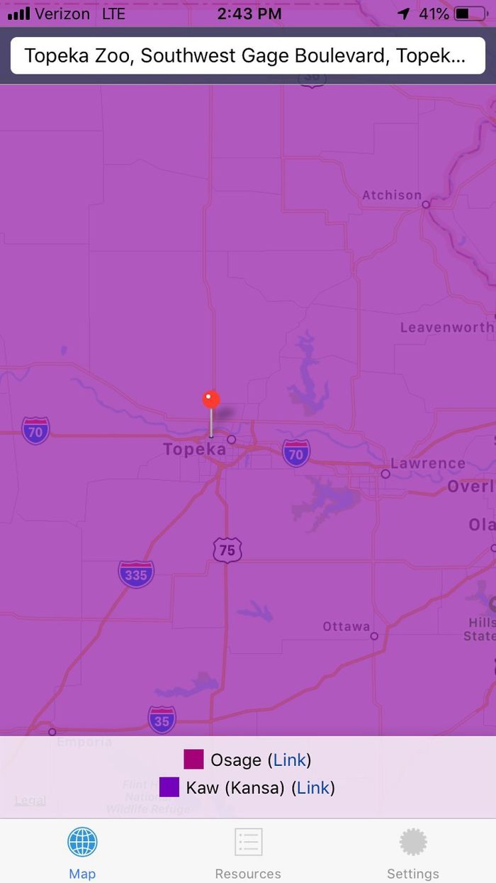
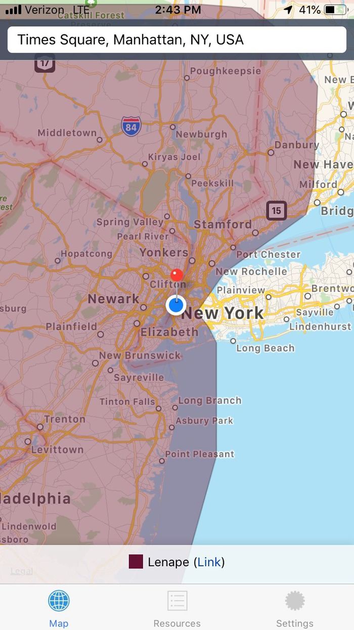
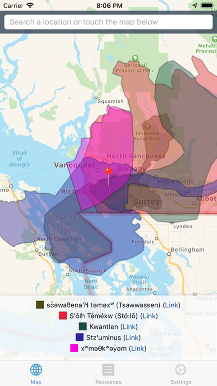
Native Land is an app as well as a website designed to show people what indigenous groups once lived in places they currently live in. All you need to do is enter the zip code or type the name of the town you’re interested in and the interactive map will zoom in on your inquiry, color-code it, and reveal data on the area’s Indigenous history, original language, and tribal ties.
The map currently covers the USA, Canada, much of Mexico, Australia, South Africa, and some territories in South America
Image credits: native-land
The Native Land project is run by Victor Temprano from British Columbia, Canada, who began working on it back in 2015. Apparently, the app currently covers the USA, Canada, much of Mexico, Australia, South Africa, and some territories in South America.
All you need to do is enter the zip code or type the name of a place
Image credits: native-land
“I feel that Western maps of Indigenous nations are very often inherently colonial, in that they delegate power according to imposed borders that don’t really exist in many nations throughout history,” the creator explains on the website. “They were rarely created in good faith, and are often used in wrong ways.”
After that, the map reveals data on the area’s Indigenous history, original language, and tribal ties
Image credits: native-land
Temprano told Mashable that the map initially served as a “kind of resource pointed at settlers and non-indigenous people to, in a not-too-confrontational way, start thinking about indigenous history.” Since then, though, it’s become a much broader resource, used by native folks and teachers in school.
Image credits: native-land
According to Mashable, who had a chance to talk to the creator of the project, Native Land is constantly being updated with user feedback. Besides, the project recently hired a research assistant to help edit currently mapped territories, add new territories, and include relevant historical background.
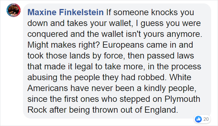
Here’s what people on the internet are saying
185Kviews
Share on Facebook@Scyth, you idiot, I mentiond my great-greats were *Native American*. You want assimilation? Cherokee Nation, eastern. And it's not EVOLUTION to do that. It's survival. Evolution is a different process entirely. Get an education.
Load More Replies...I’m still not sure how this is all Trump’s fault, but somehow it is.
@Scyth, you idiot, I mentiond my great-greats were *Native American*. You want assimilation? Cherokee Nation, eastern. And it's not EVOLUTION to do that. It's survival. Evolution is a different process entirely. Get an education.
Load More Replies...I’m still not sure how this is all Trump’s fault, but somehow it is.

 Dark Mode

 No fees, cancel anytime





























119
73