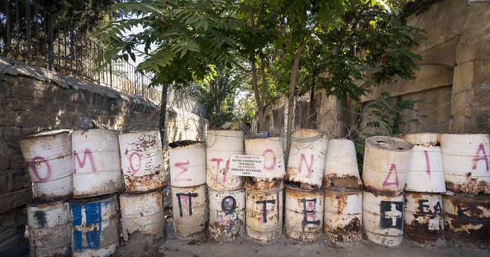
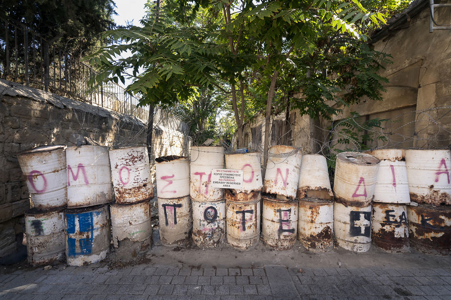
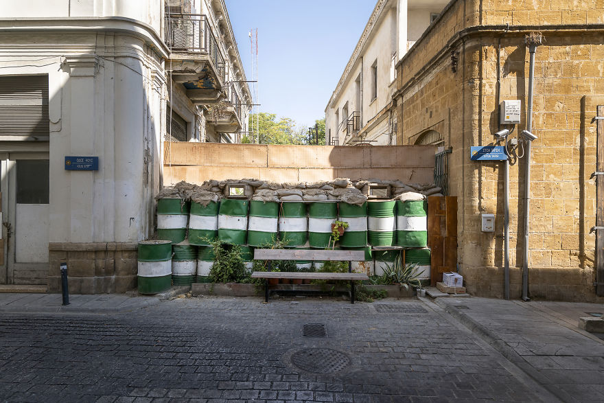
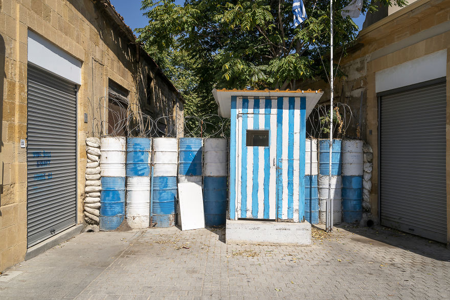
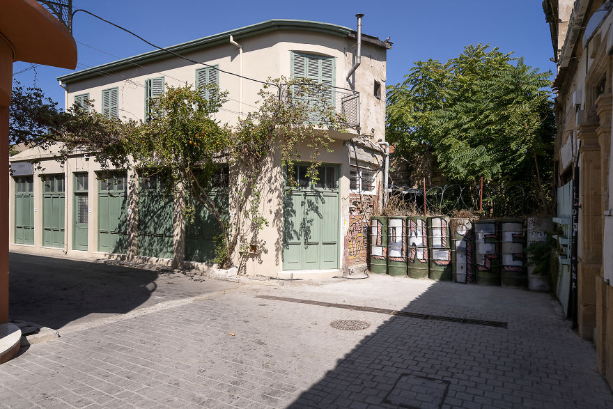
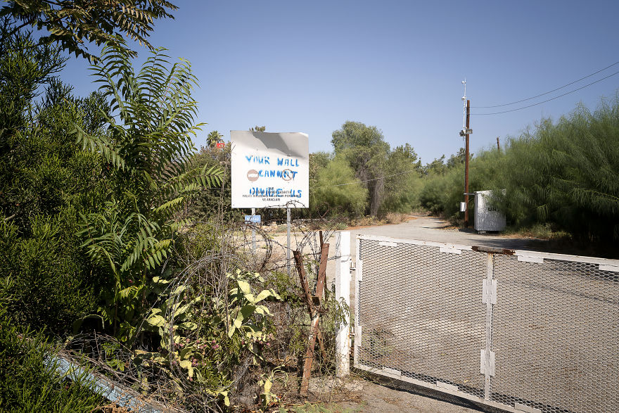
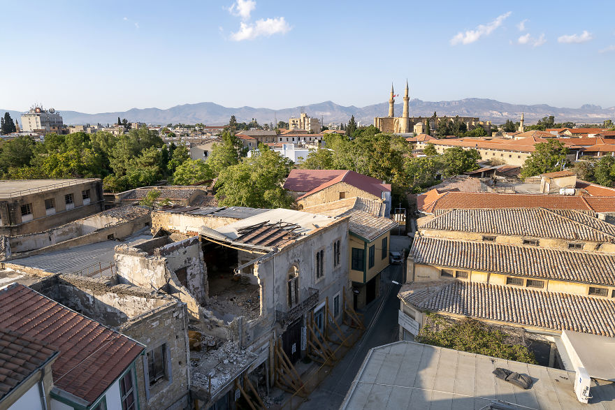
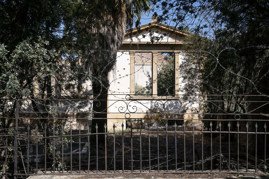
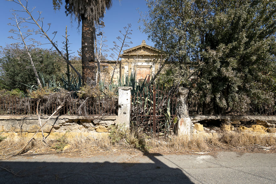
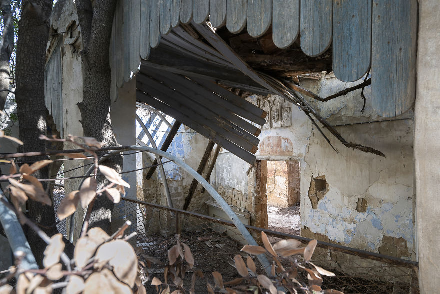
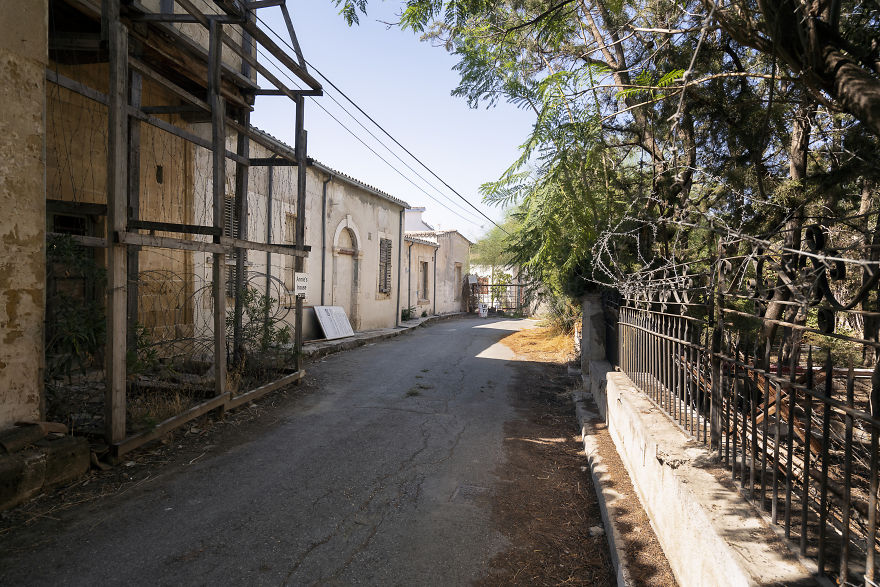
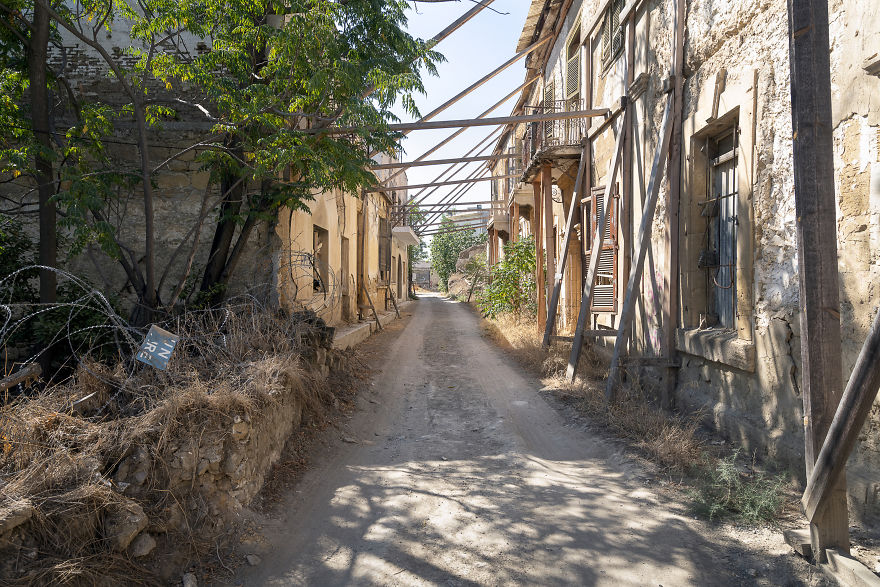
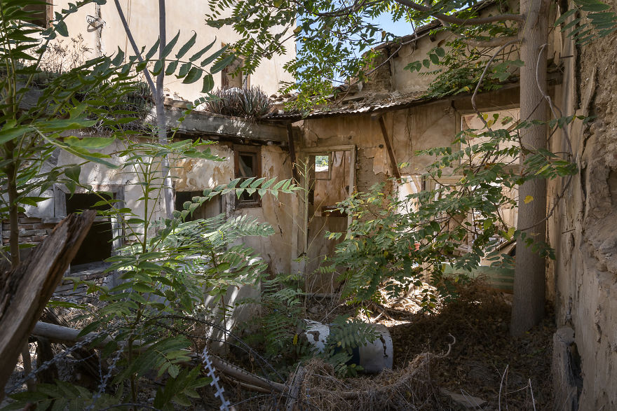
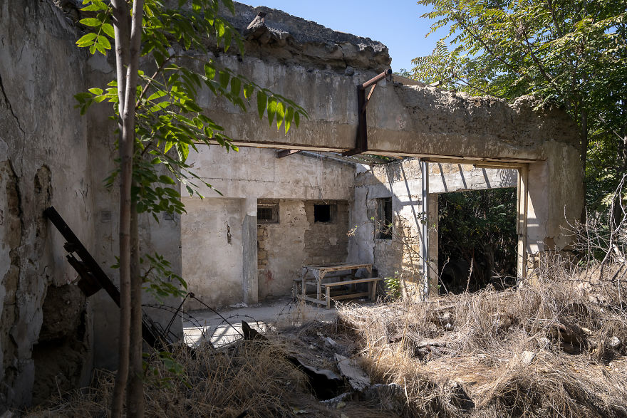
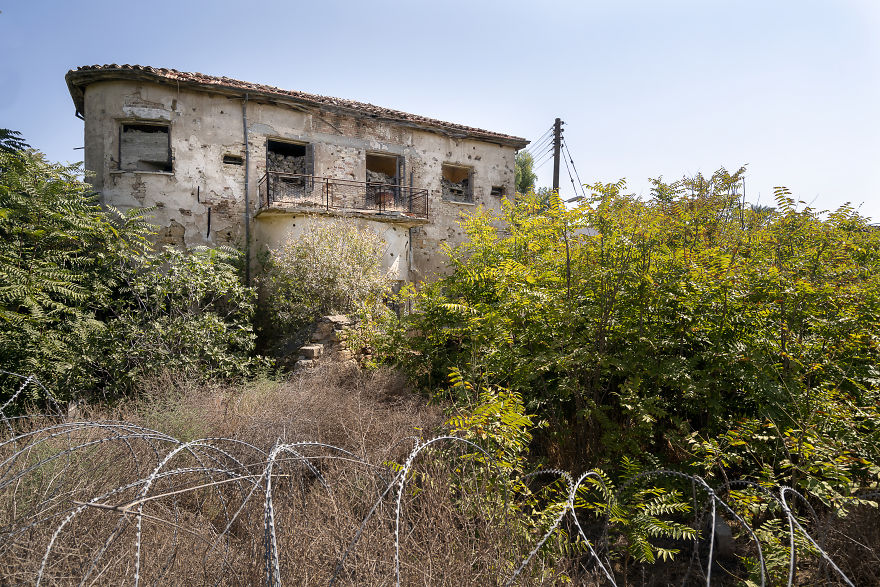
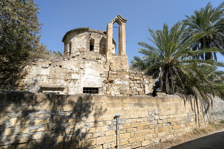
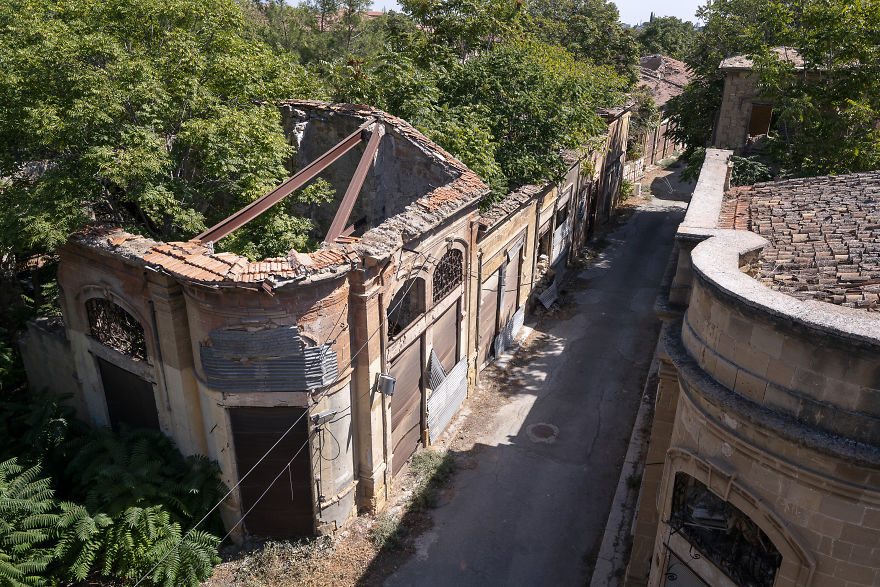
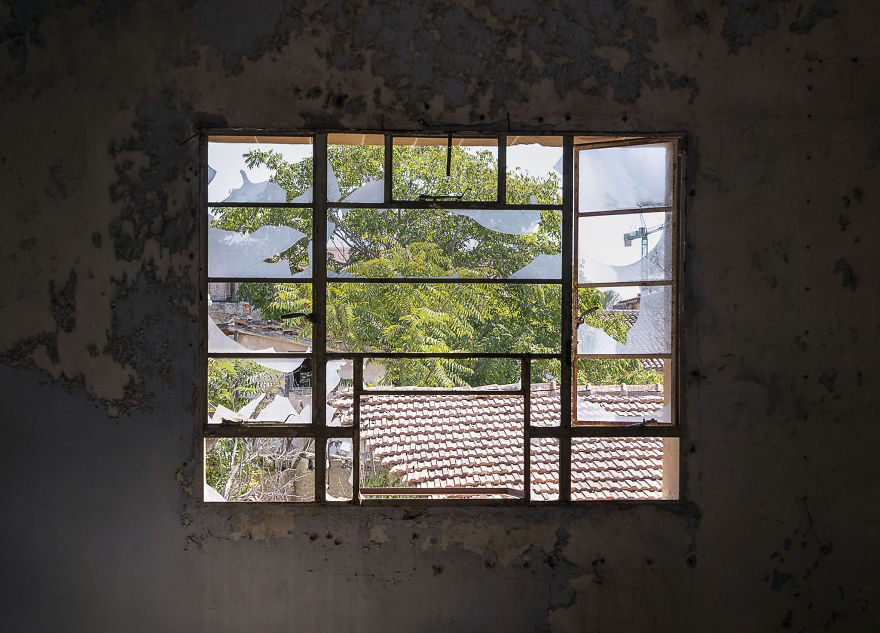
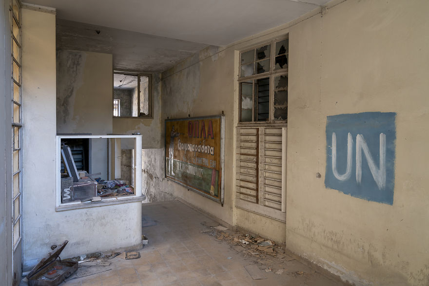
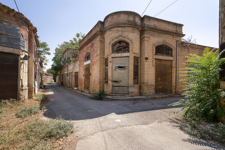
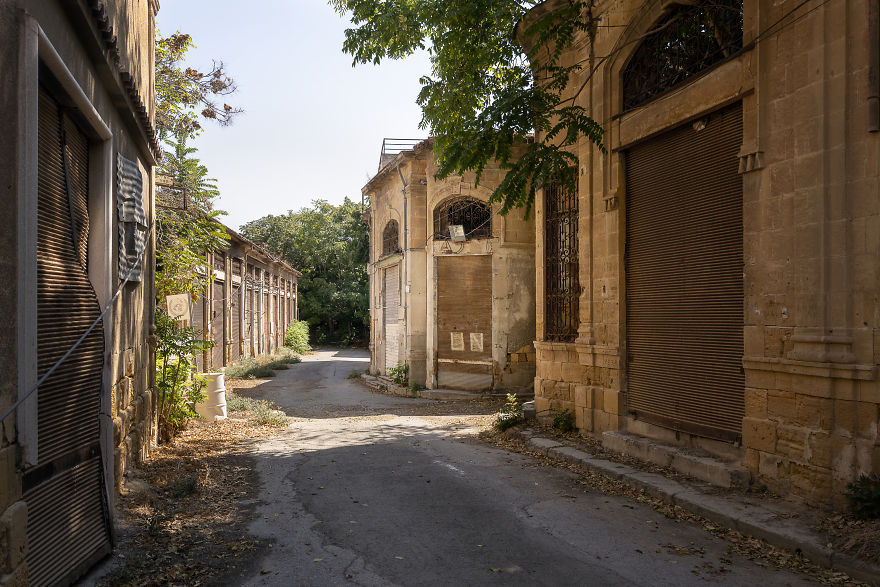
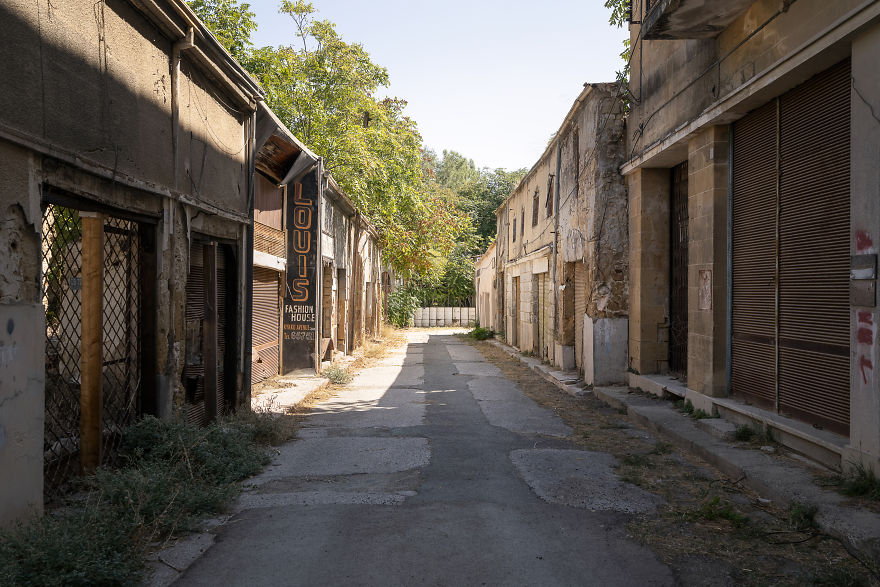
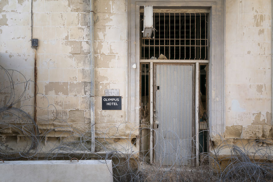
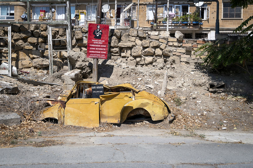
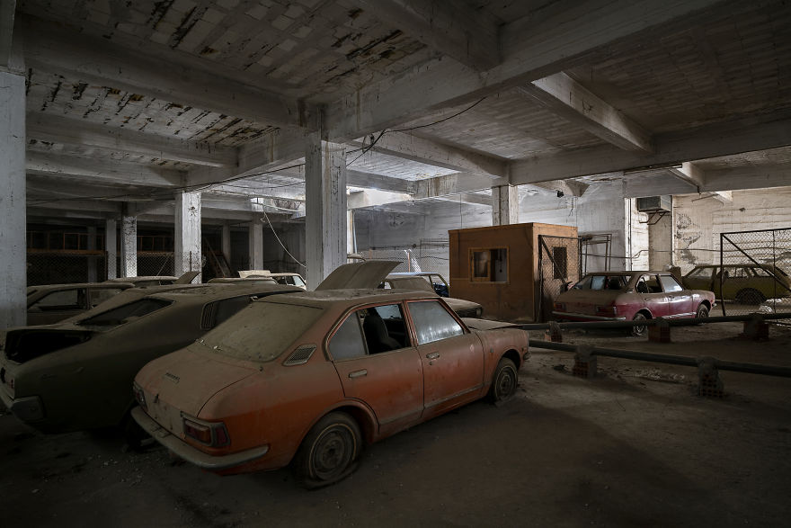
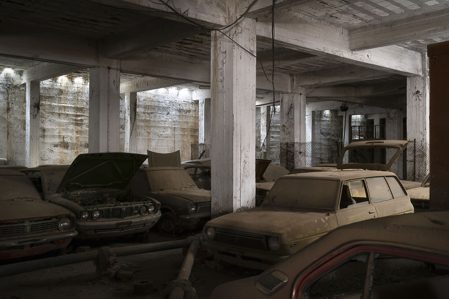
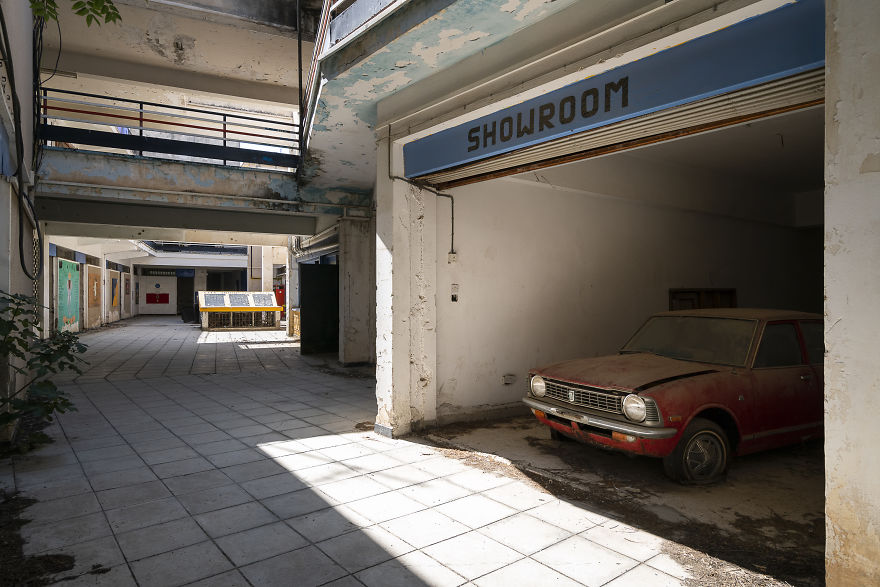
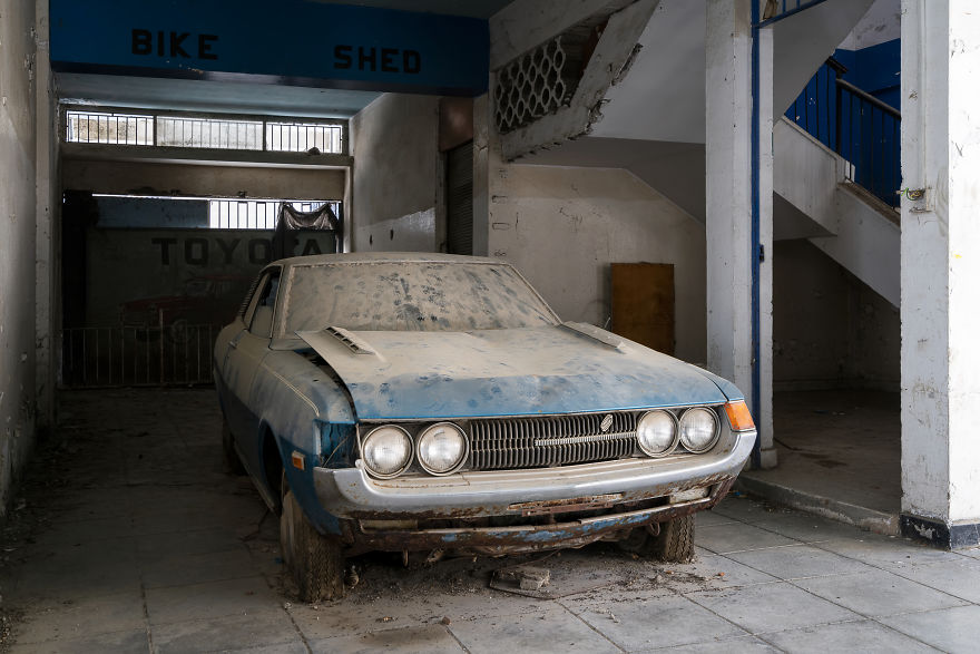
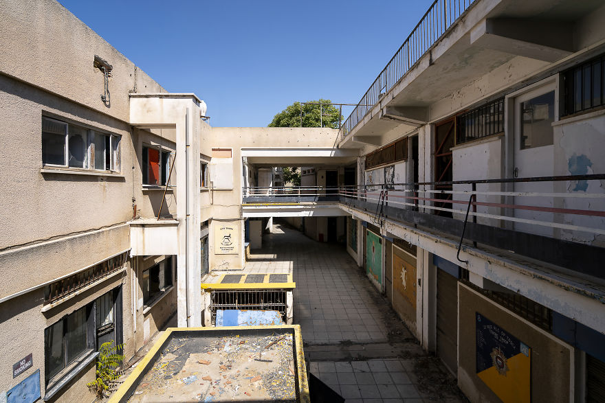
In September 2018, I was asked to travel to Cyprus and photograph the Buffer Zone / Green Line in Nicosia. An exclusive opportunity, since this area is not accessible for civilians. It is a demilitarised zone (DMZ), patrolled by the United Nations.
The goal of my visit was to take photos of the endangered architecture within the zone, and also bring the social aspect into the frame.
The United Nations Buffer Zone in Cyprus is a demilitarised zone, patrolled by the United Nations Peacekeeping Force in Cyprus (UNFICYP), that was established in 1964, when Major-General Peter Young was the commander of a “peace force”, a predecessor of the present UNFICYP. After stationing his troops in different areas of Nicosia, the general drew a cease-fire line on a map with a green pencil, which was to become known as the “Green Line”. The zone extended in 1974 after the cease-fire of 16 August 1974, following the Turkish invasion of Cyprus, and de facto partition of the island into the area controlled by the Republic of Cyprus (southern Cyprus save for the British Sovereign Base Areas) and the Turkish Republic of Northern Cyprus in the North.
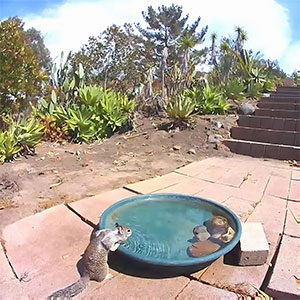
The zone, also known as the Green Line, stretches for 180 kilometers from Paralimni in the east to Kato Pyrgos in the west, where a separate section surrounds Kokkina. The zone cuts through the center of Nicosia, separating the city into southern and northern sections. In total, it spans an area of 346 square kilometres, varying in width from less than 20 metres to more than 7 kilometres. Some areas are untouched by human interference and have remained a safe haven for flora and fauna.
More info: romanrobroek.nl
This post may include affiliate links.

 Dark Mode

 No fees, cancel anytime


